
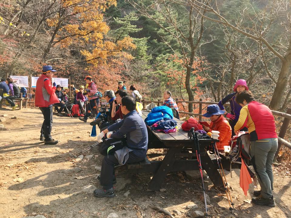
resting before last 50m
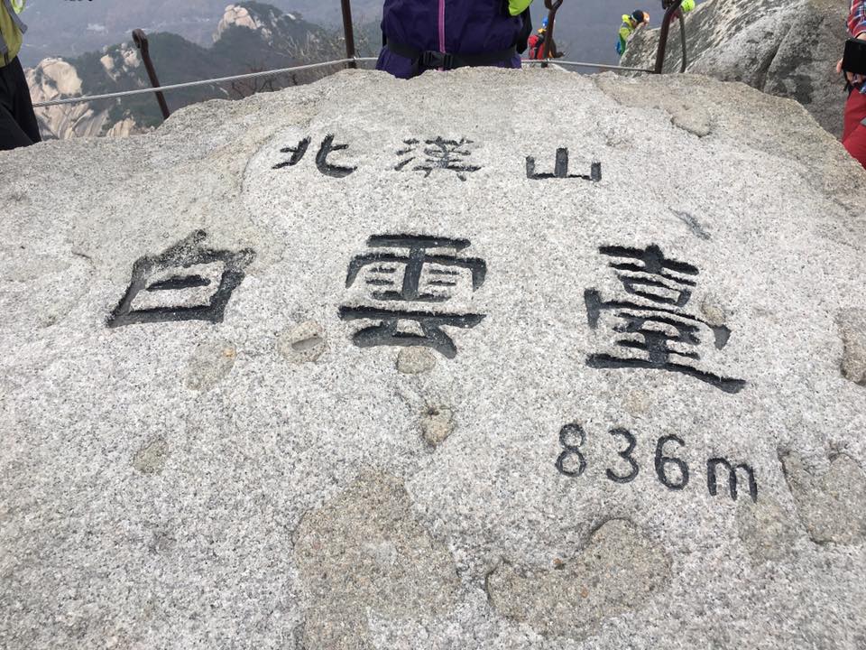
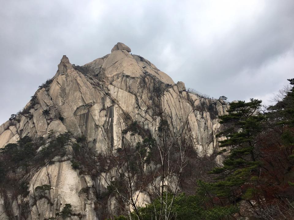
baegundae-826m
armed with trekking poles, kit kat, nuts + bought 2 gimbap 김밥, we set off to climb bukhansan on 12.11.2016. ^^
little we know, really really difficult though looked like not difficult for koreans…7yr olds & 10yr olds could do it..& one lady looked like 75/80.
Still we got up to baegundae 白云台 백운대 836m…
7hrs very jialat hike
almost died…actually, die-ded, dead already la!
going to gupabal station
we decided to go nami Island 남이선 南怡岛 at chuncheon 春川 yesterday on Friday to avoid the weekend crowd.
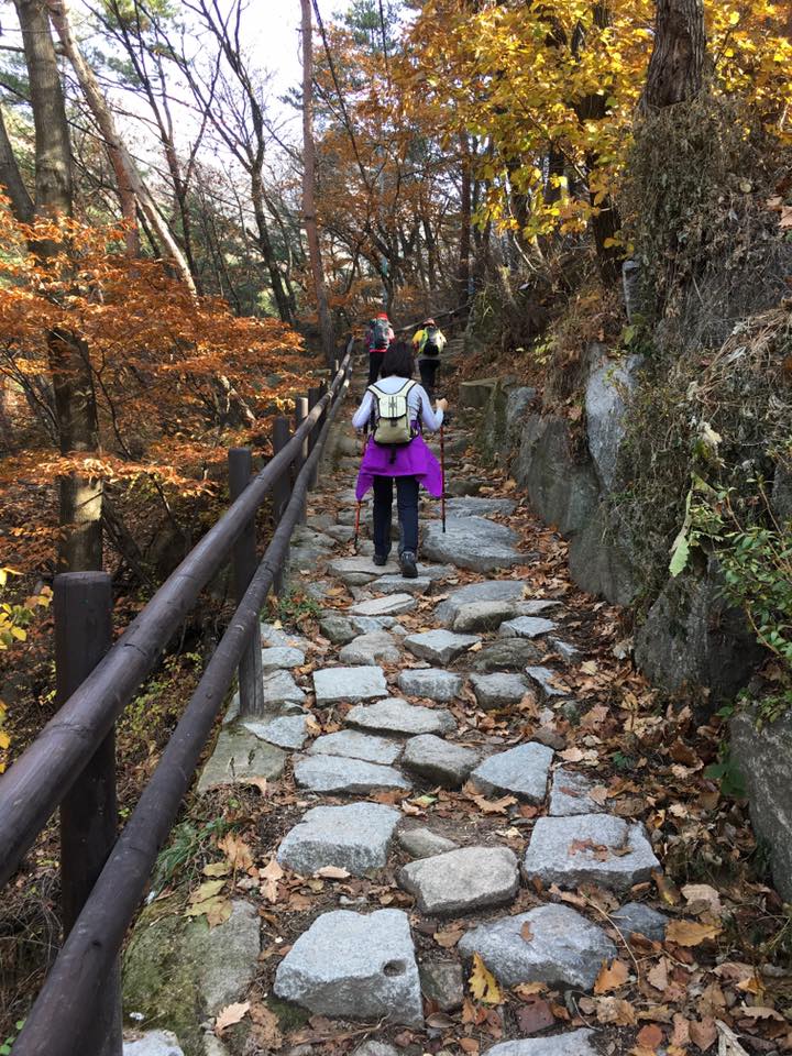
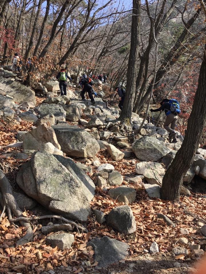
everyone ready for climbing
not a bad decision, but it also mean we now go to bukhansan on a Saturday/weekend on 12.11.2016.
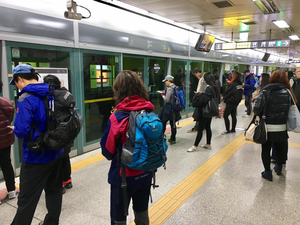
we took line 2 from hongdae where our airbnb apartment is, to hapjeong, changed to line 6 to bulgwang, then to line 3 to gupabal.
kind of early, should be in bed leh…
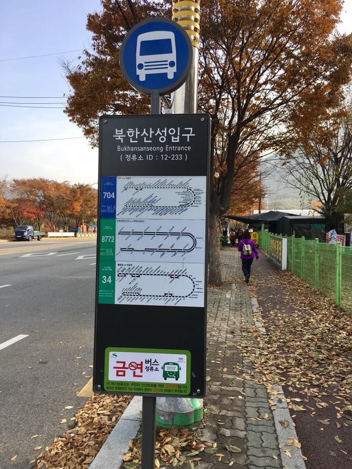
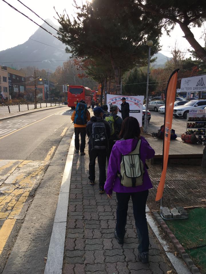
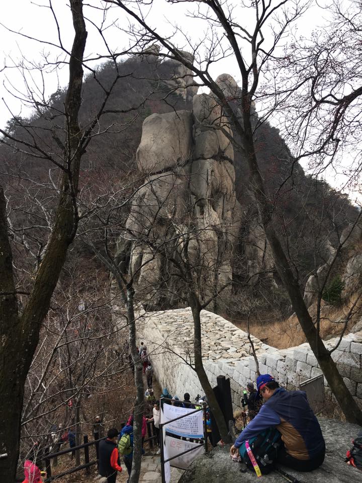
Took bus no 720 from gupabal station to bukhasan fortress station
we took bus no 720 from gupabal station to bukhansan fortress station.
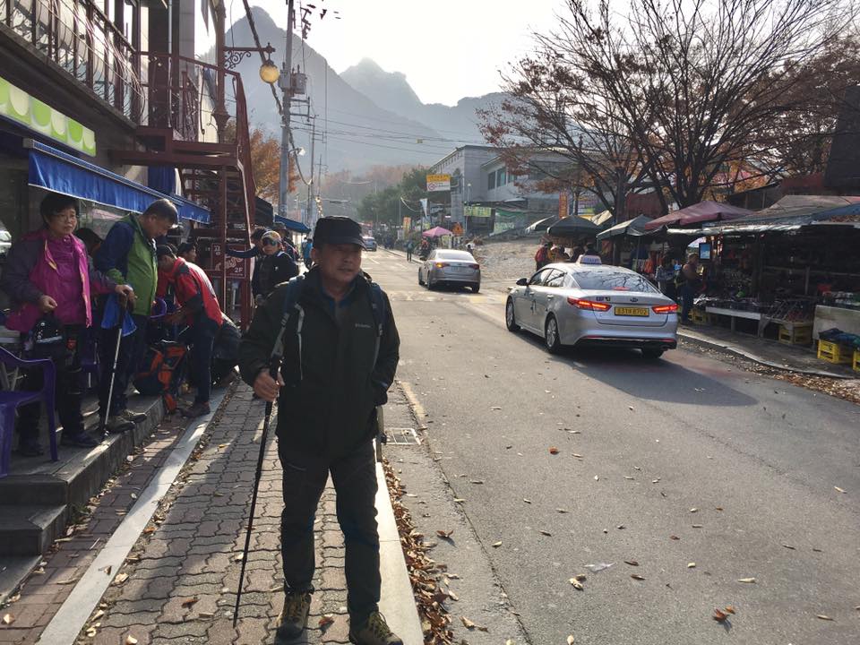
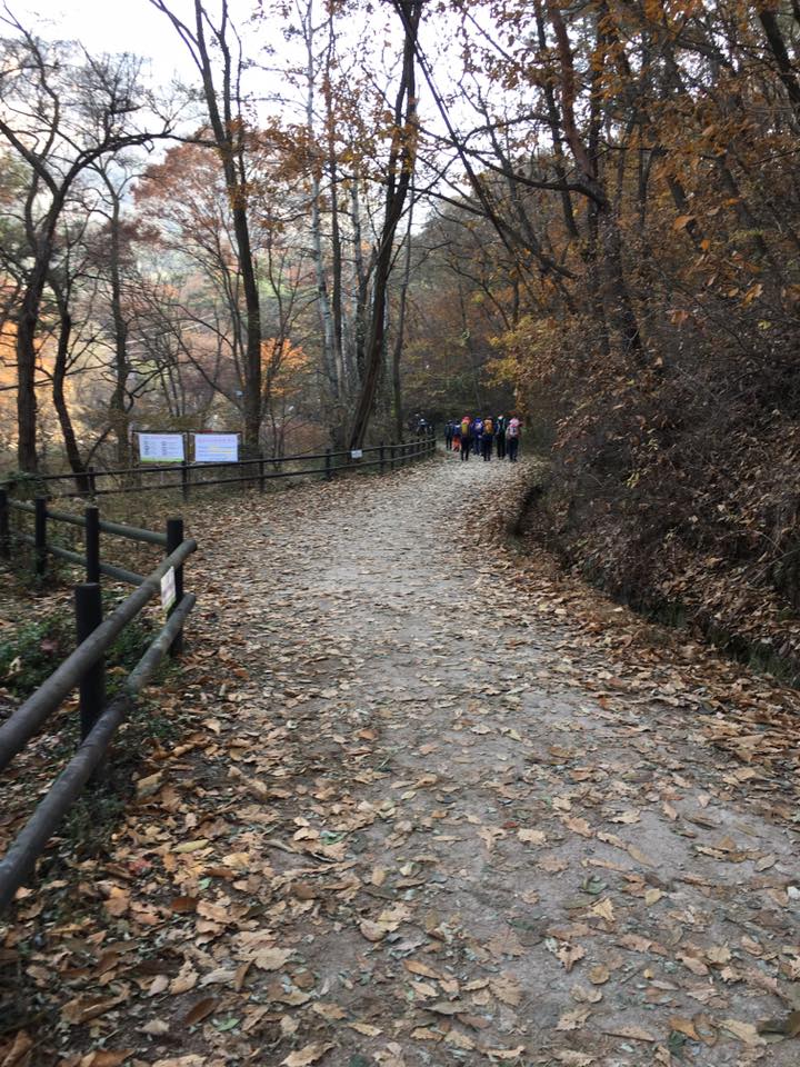
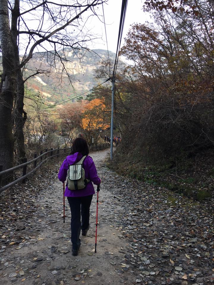
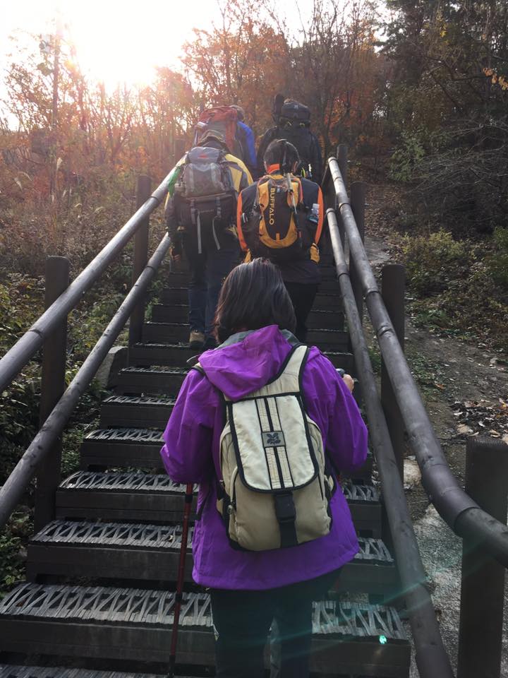
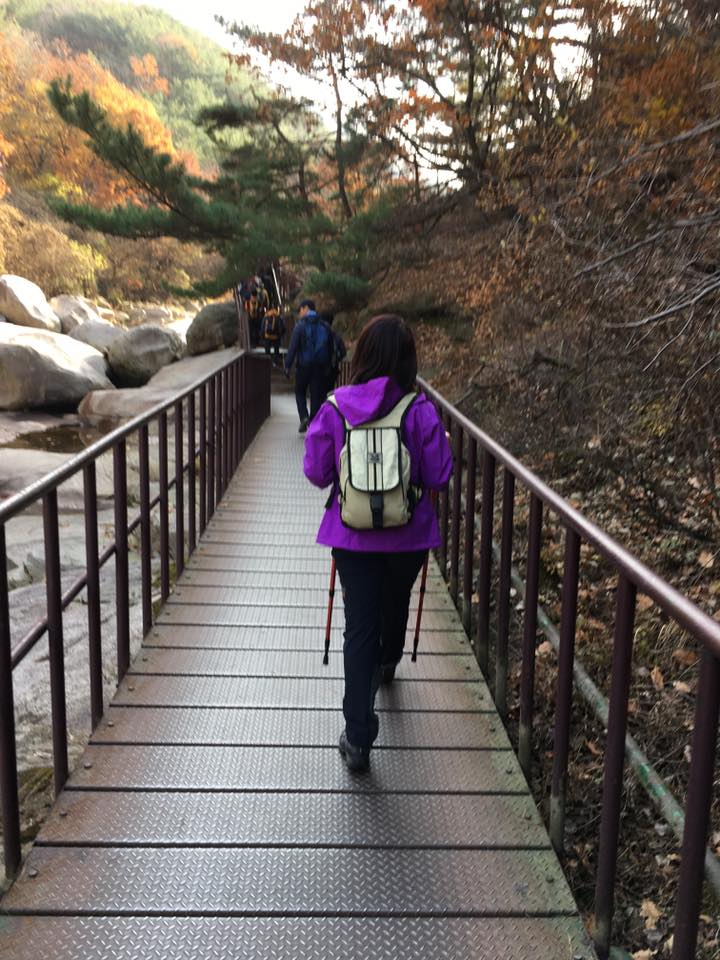
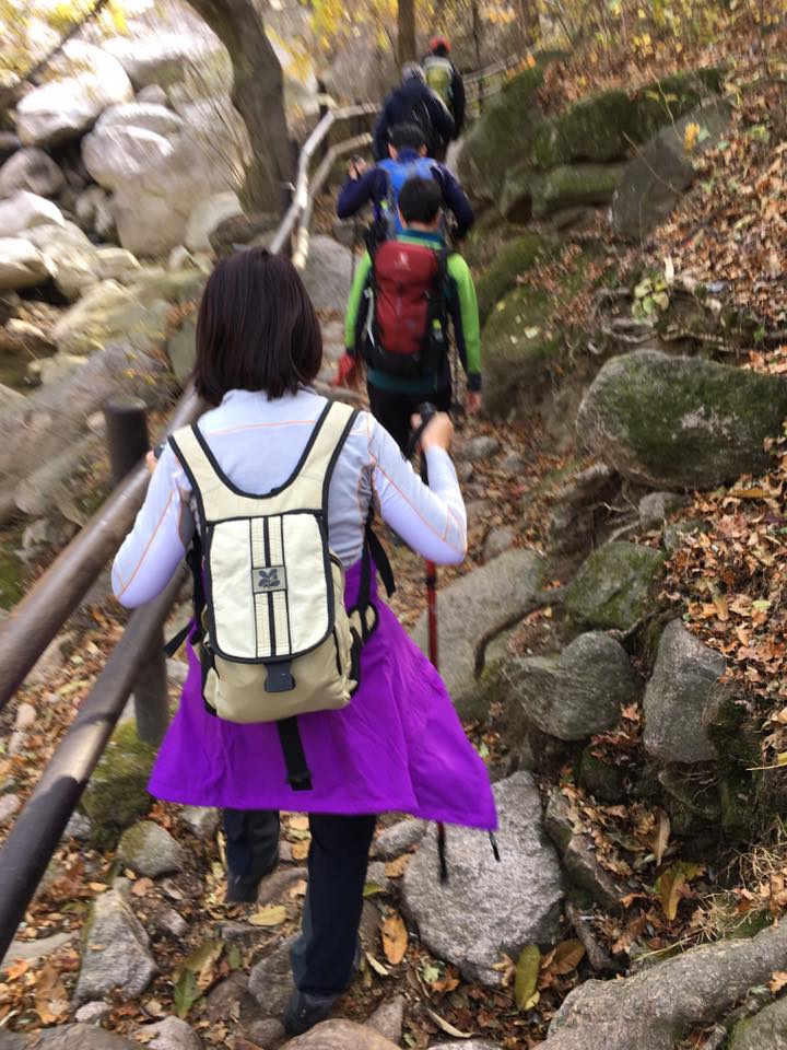
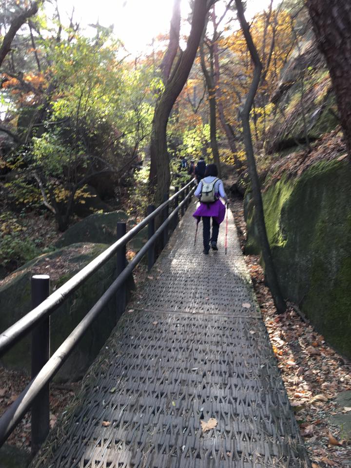
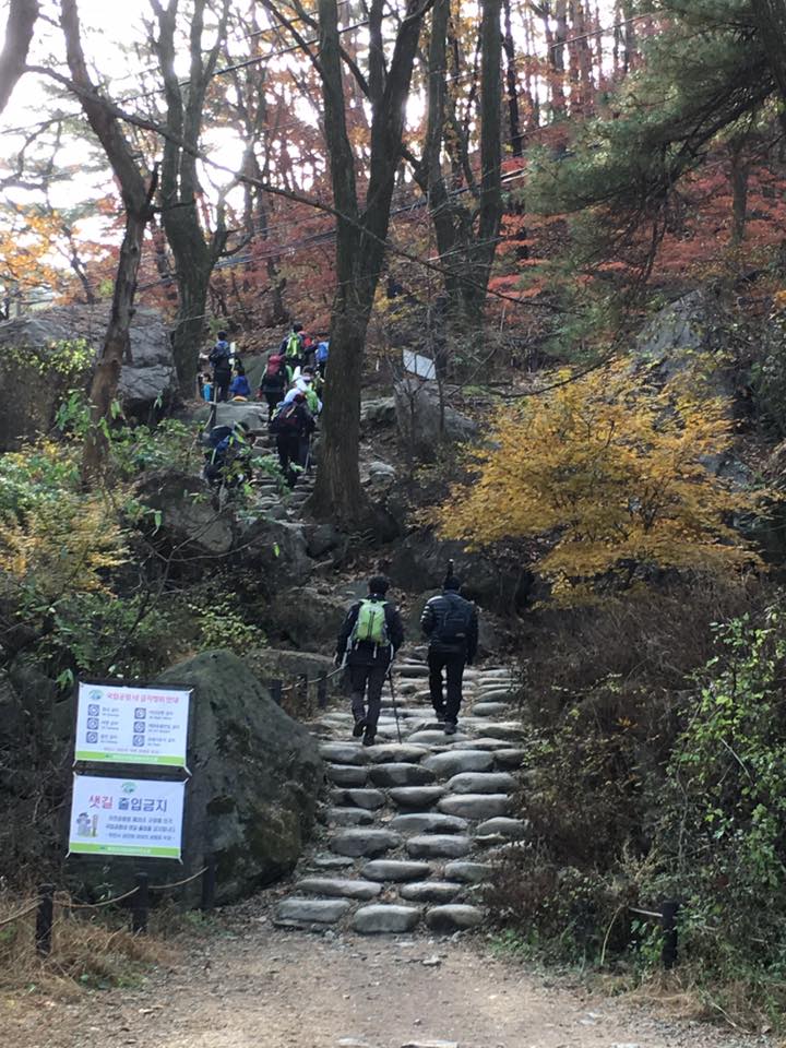
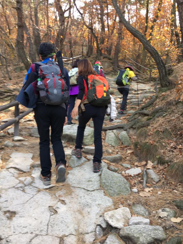
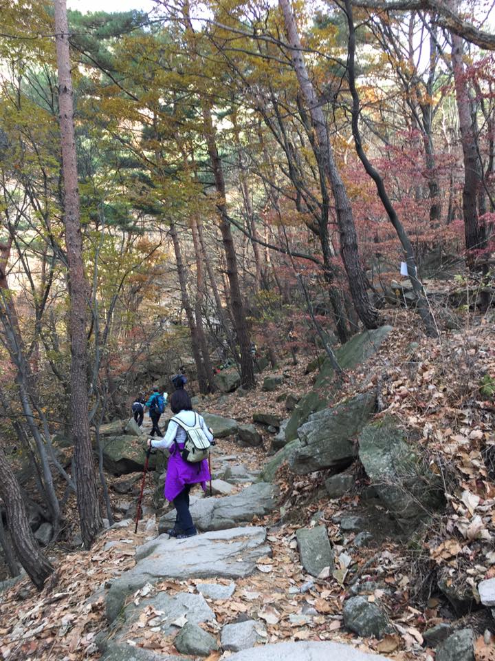
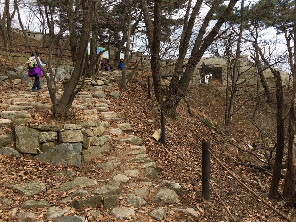
walking to the bukhansan trailhead
on the way, wife stopped by to buy 2 rolls of gimbap 김밥, and those turned out to be our nectar, our fuel, our substenance!
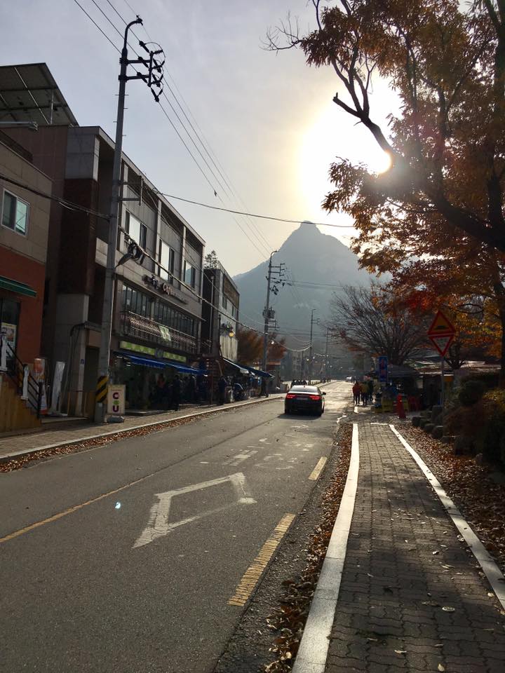
walking to the bukhansan trailhead
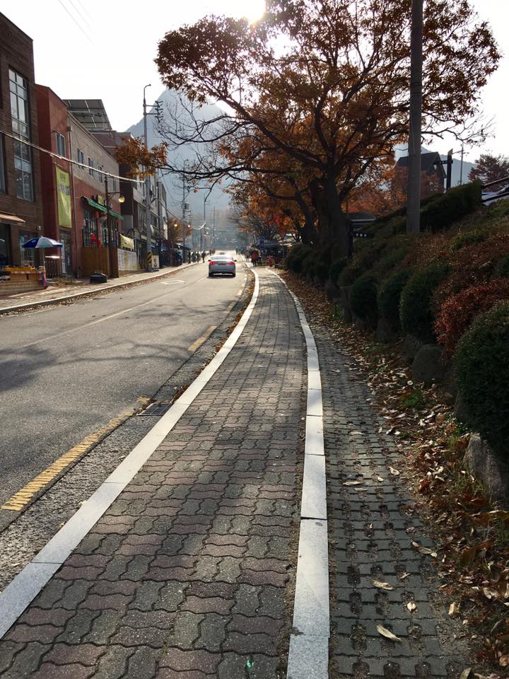
walking to the bukhansan trailhead
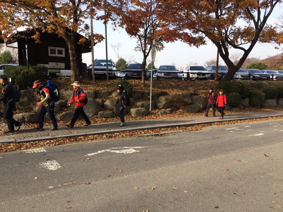
everyone walking to the bukhansan trailhead
everyone walking to the bukhansan trailhead
you see everyone walking there (to the bukhansan trailhead), you kow you are in the right direction la…
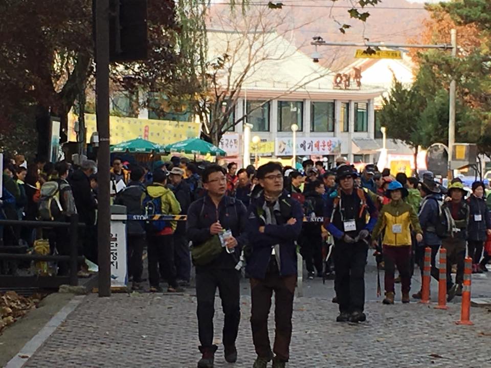
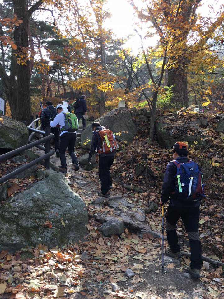
crowd at the bukhansan trailhead
wa, you guys need to flag off ah?

which direction neh?
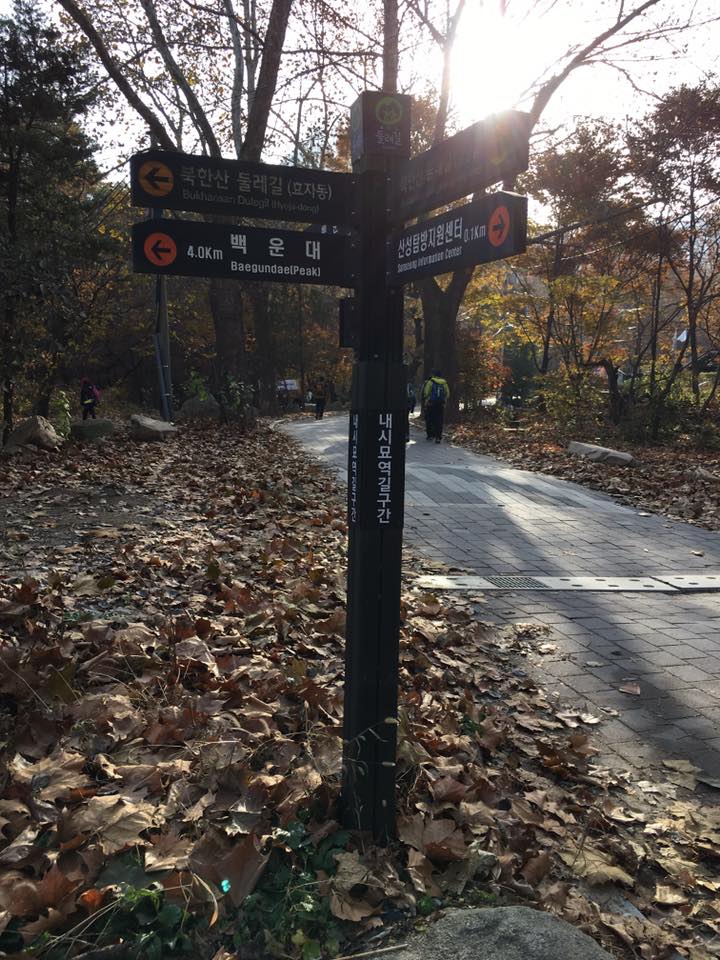
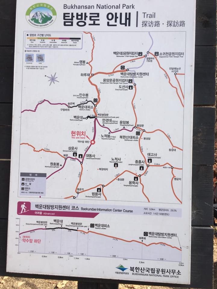
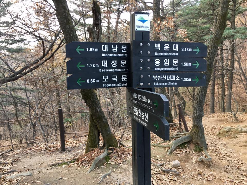
both ways going baegunpae. we took the one that says 4km
both ways going baegunpae. which one neh?
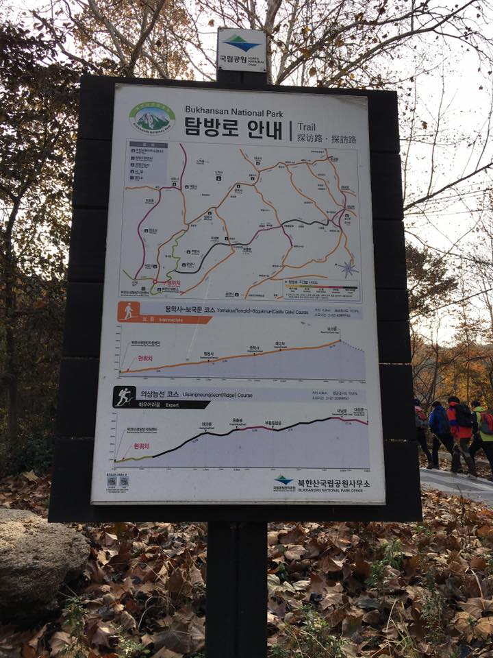
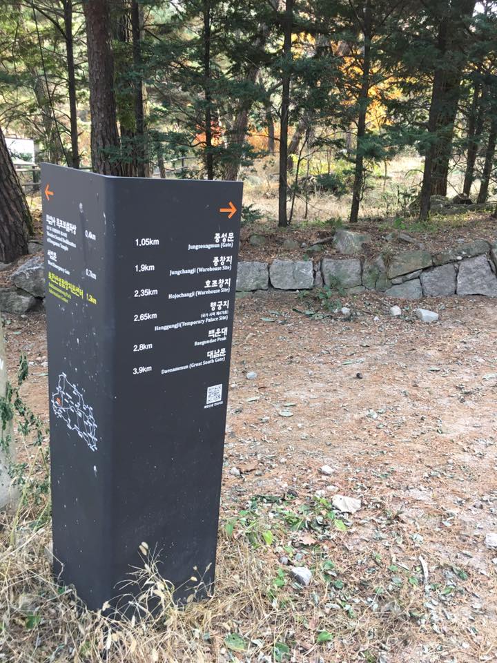
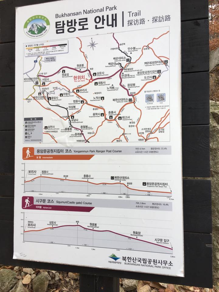
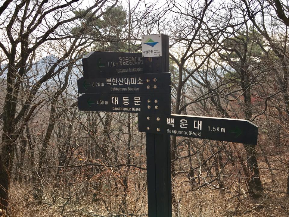
trail map
we took the one that says 4km….
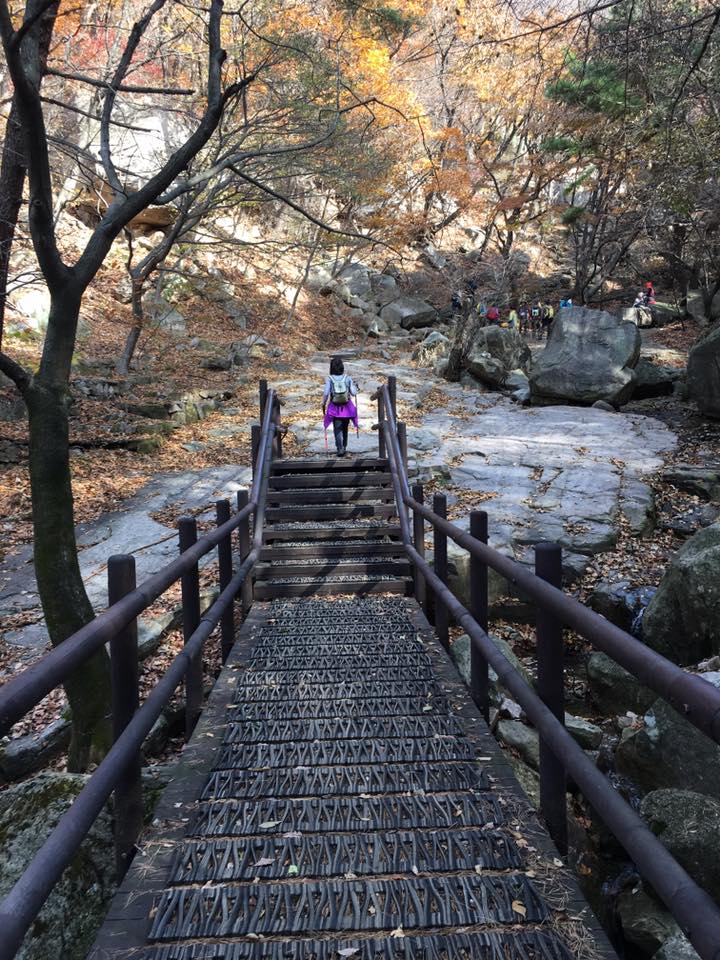
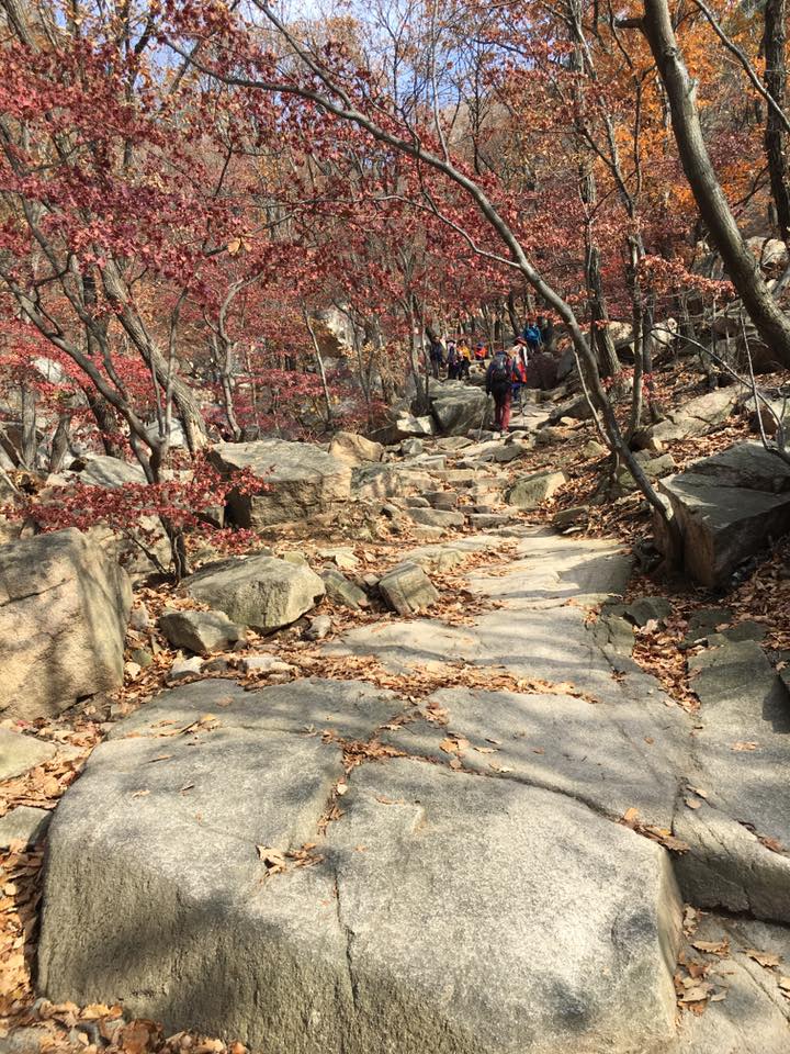
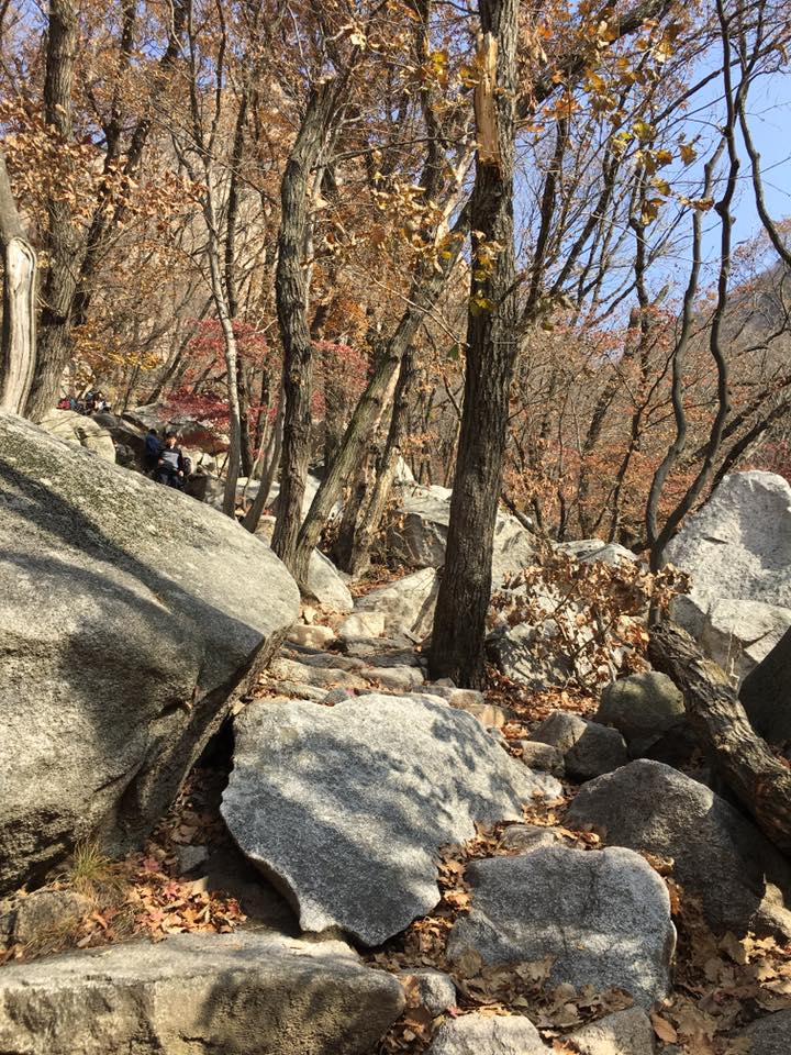
start of trail
took a few snaps….
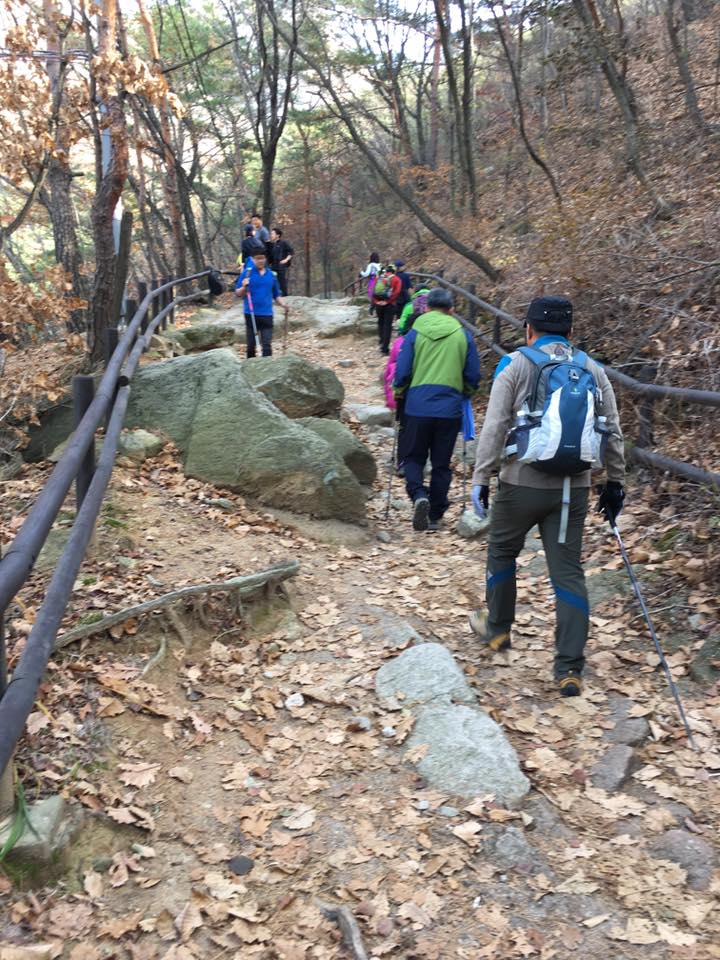
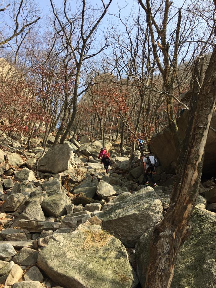
going up
going up.
& up we go….
going up
go….
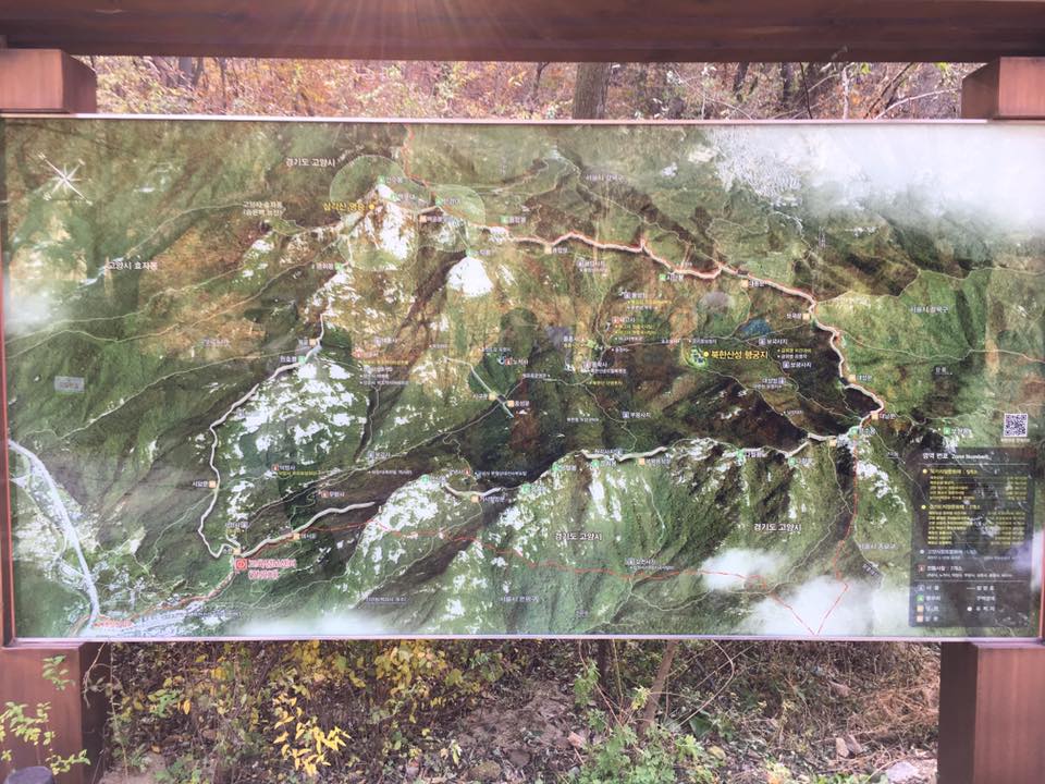
trail map
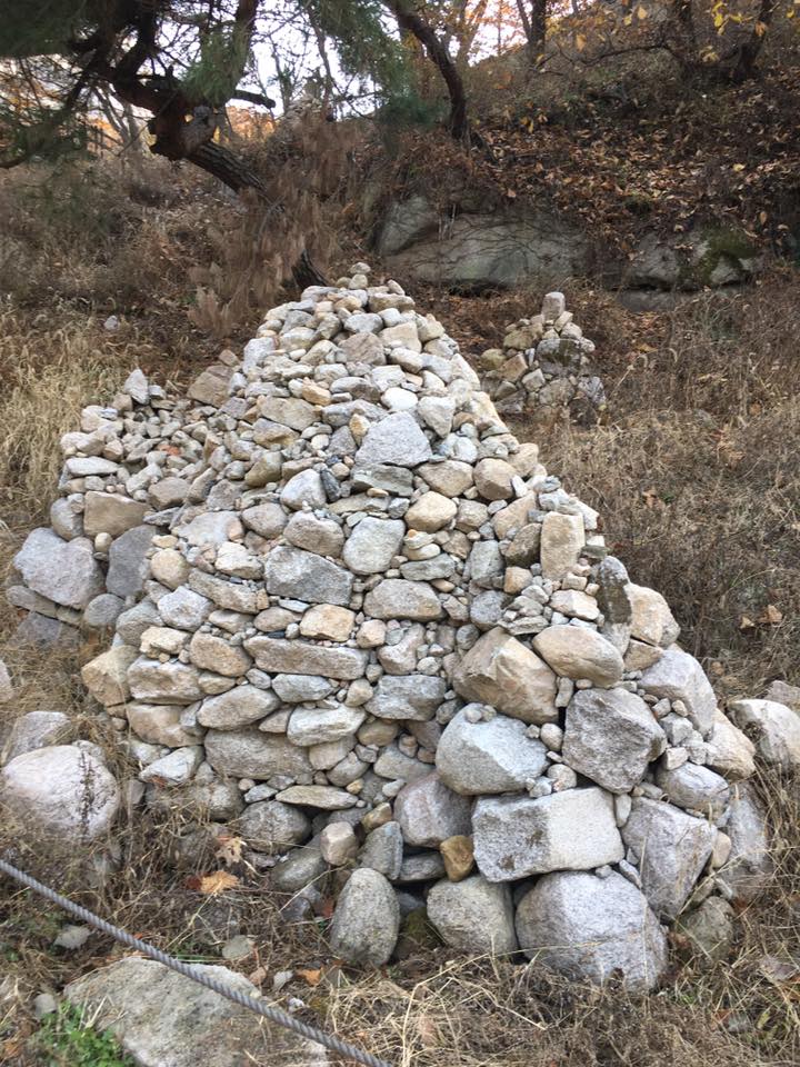
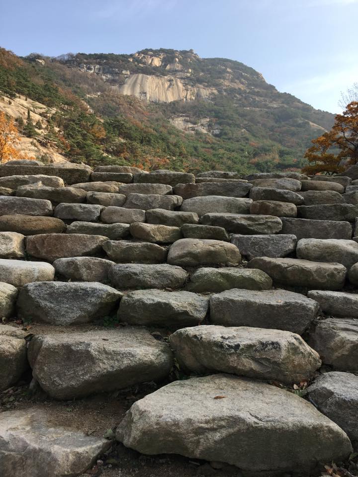
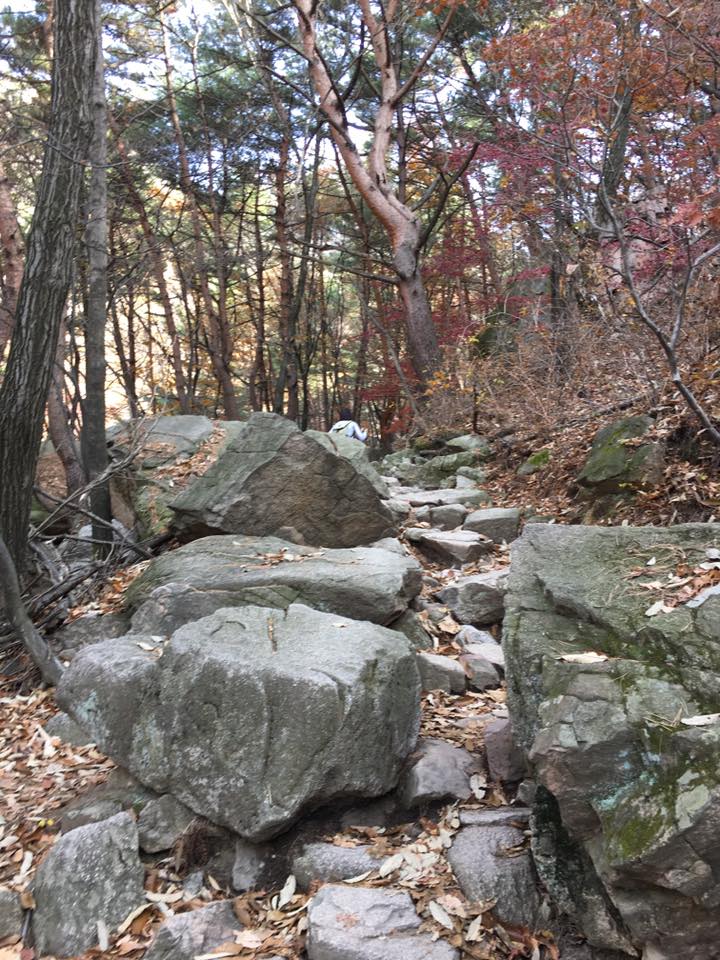
pile of stones by bored hikers?
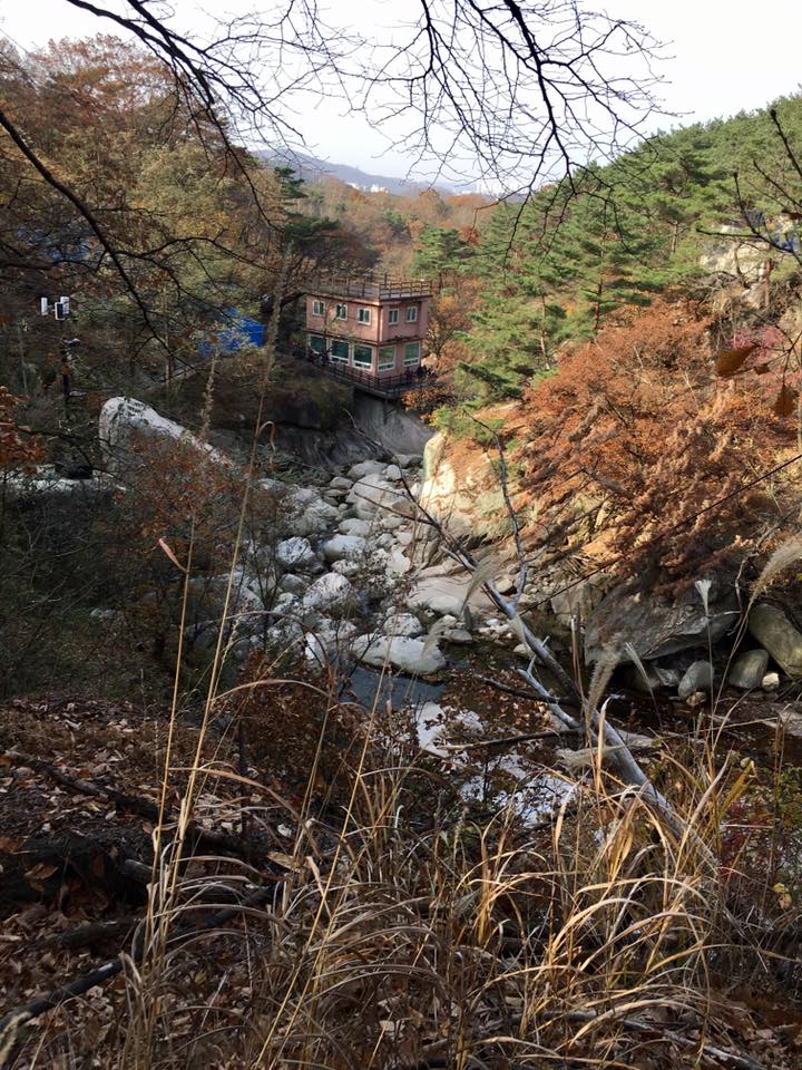
looking down at the information centre – the trail head
looking down at the information centre, at the trailhead…
we hiking up there? you kidding me?
you kidding me?
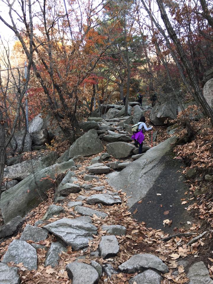
going up
going up
going up
going up
up….
going up
going up
go….
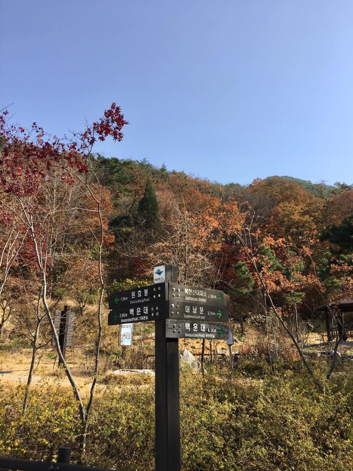
directions
going up
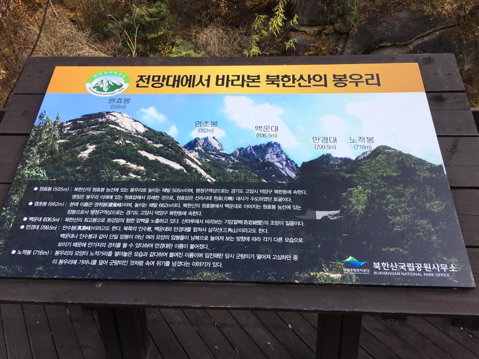
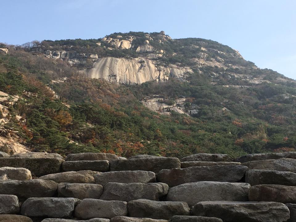
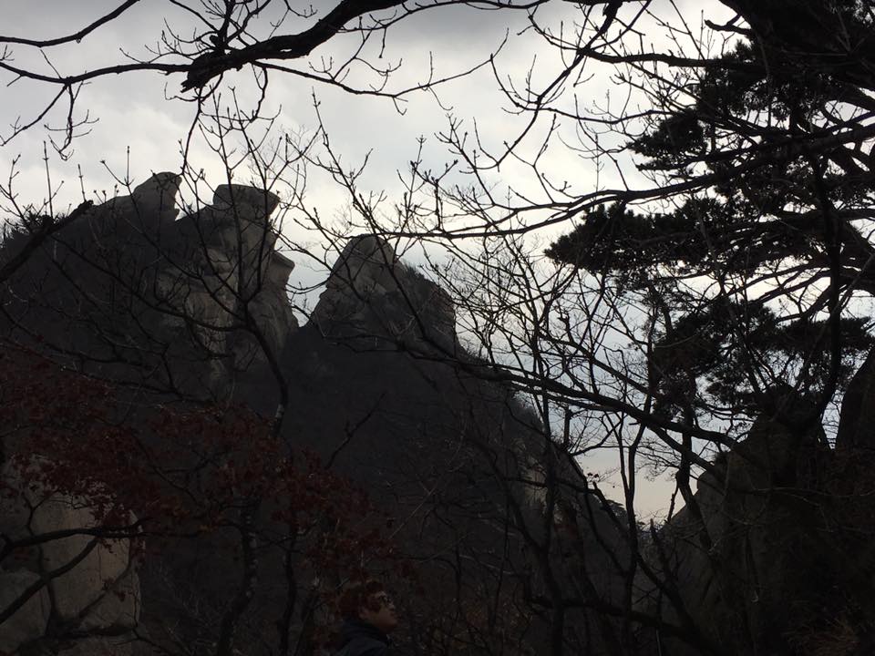
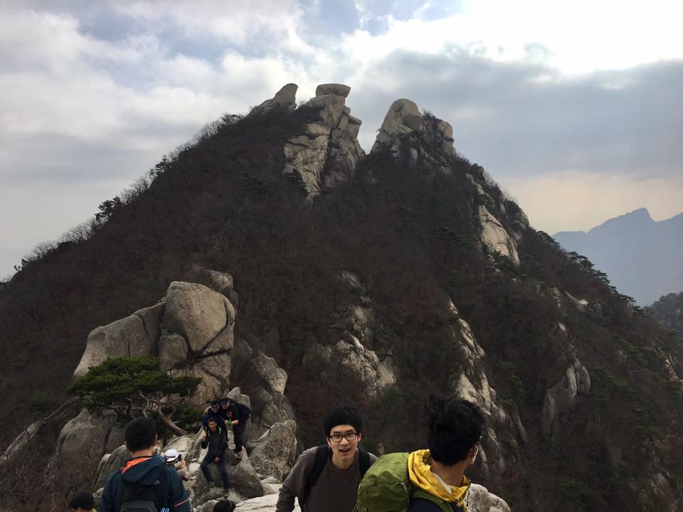
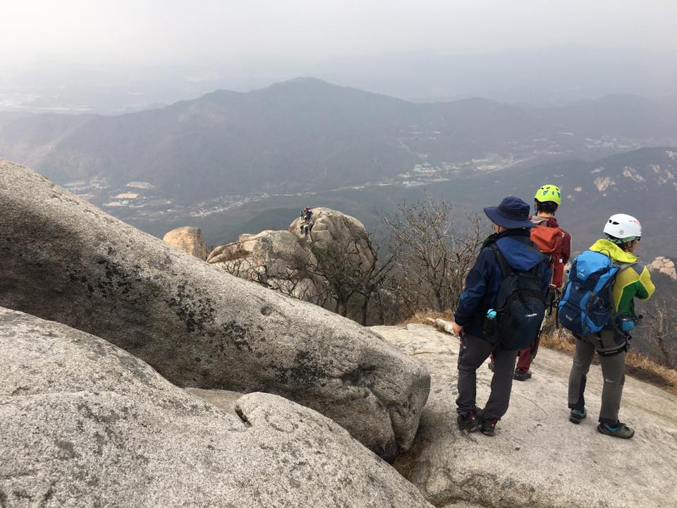
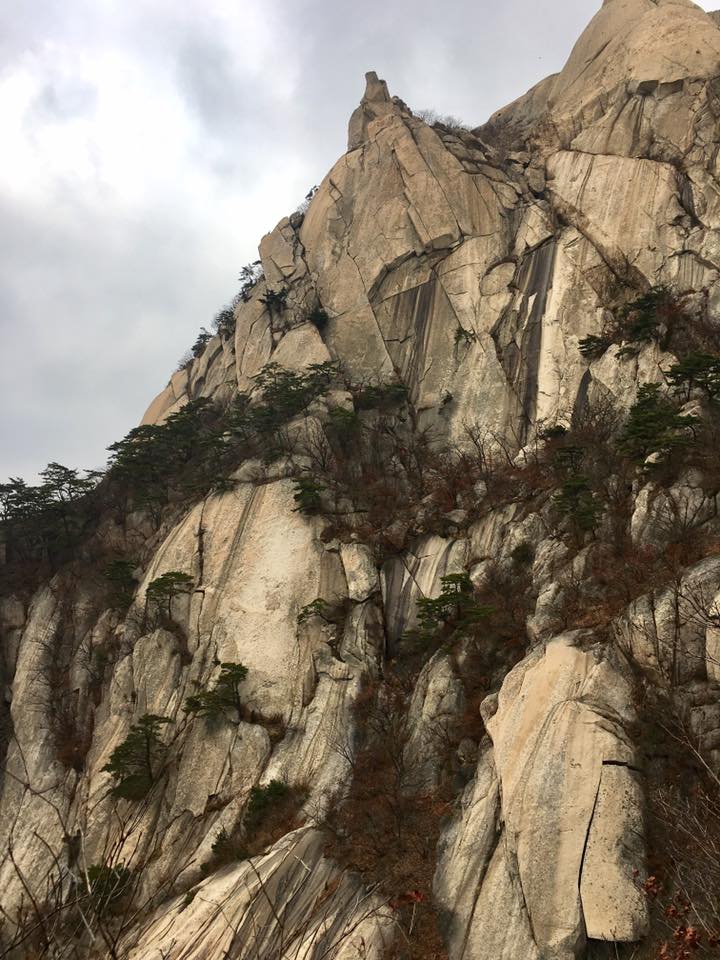
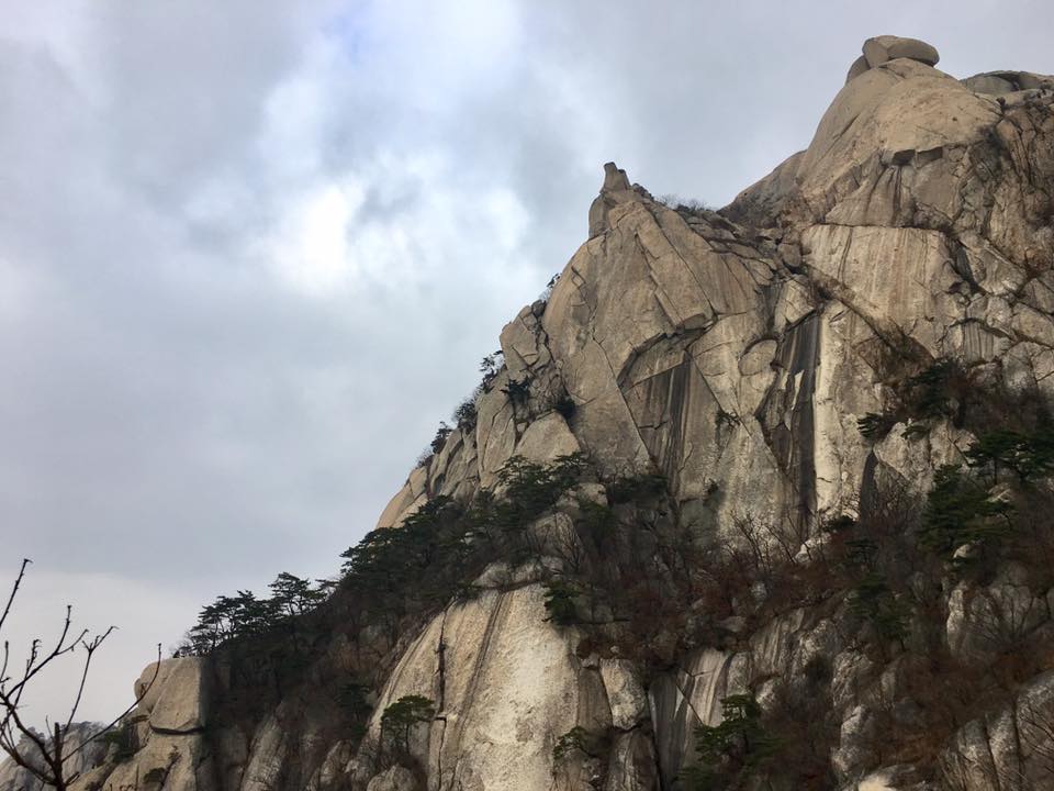
the peaks
we are going to baegundae 白云台 백운대 836m!
the peaks
the peaks

wife bought 2 rolls of gimbap 김밥
luckily we had 2 rolls of gimbap 김밥
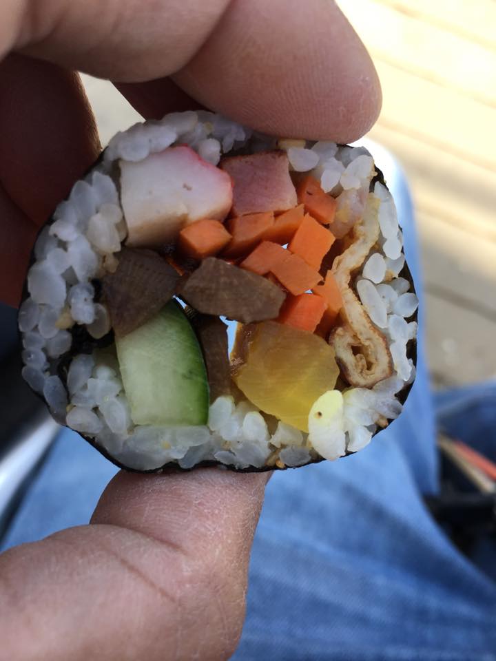
never knew gimbap 김밥 taste so good la!
super delicious!!!
lip smacking good!!!
Still 2.6km…we were just 1/3 of the way up…
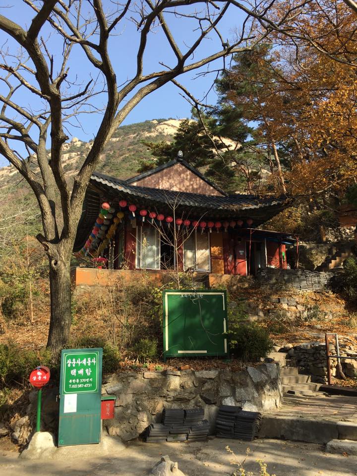
temple
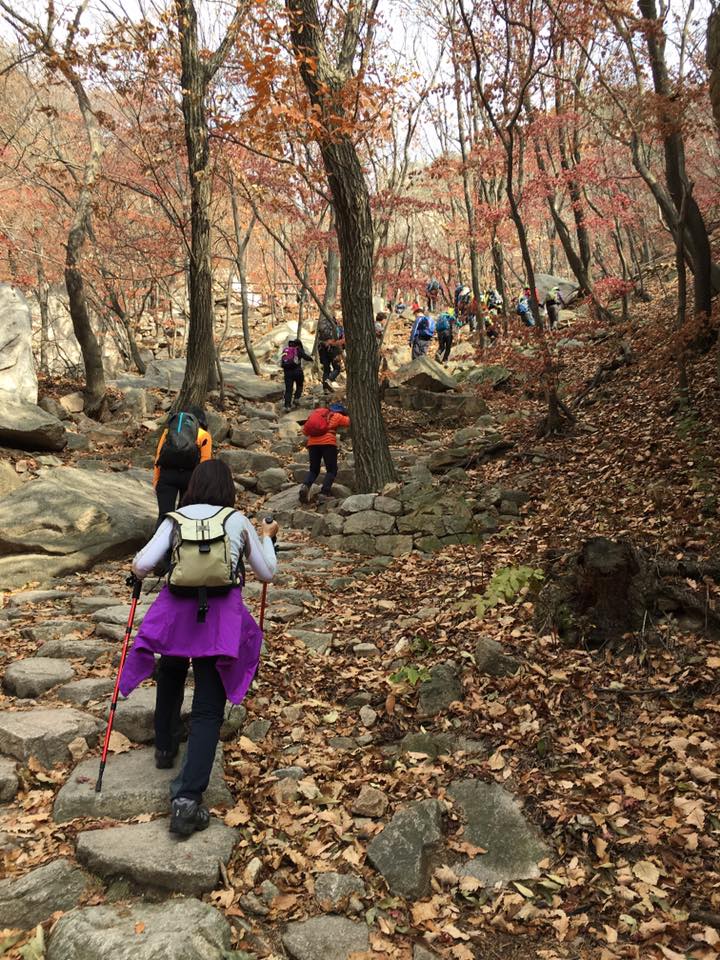
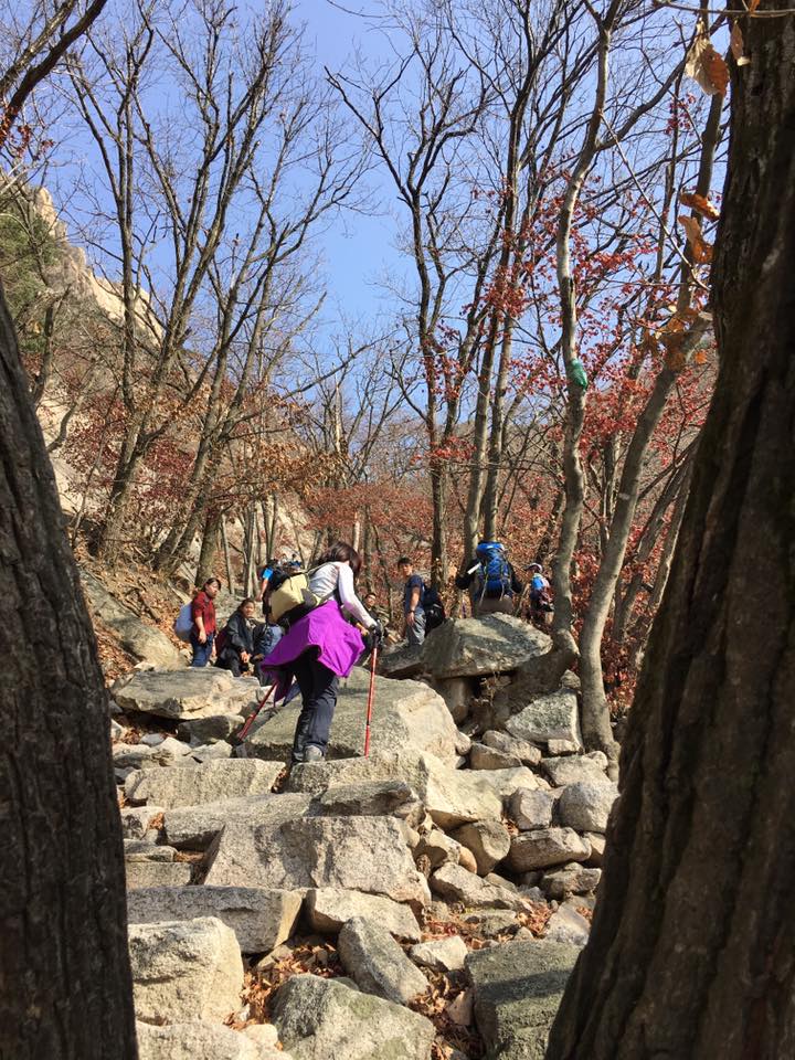
remember the landmarks..so you know you are staying on the right track…
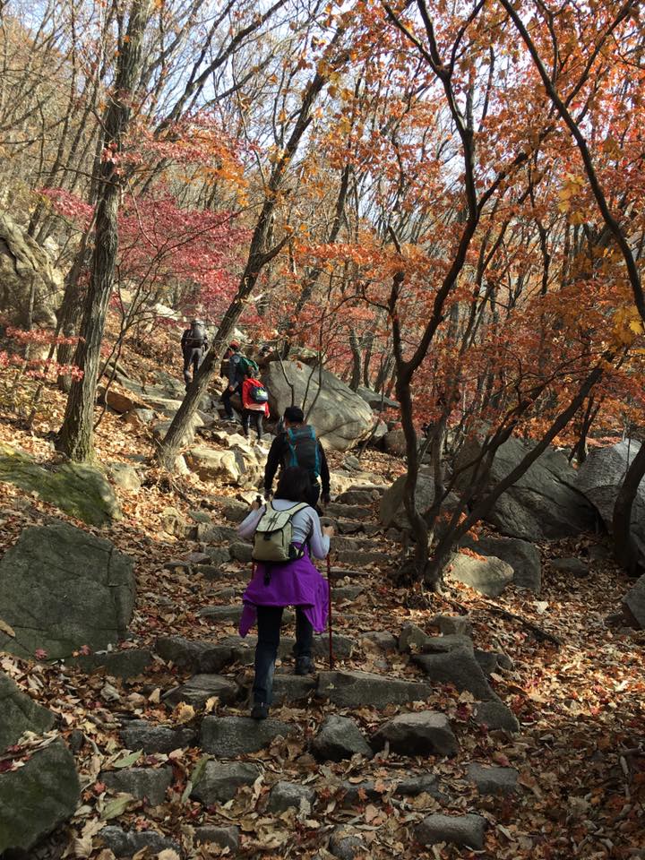
still the easy parts
going up
going up
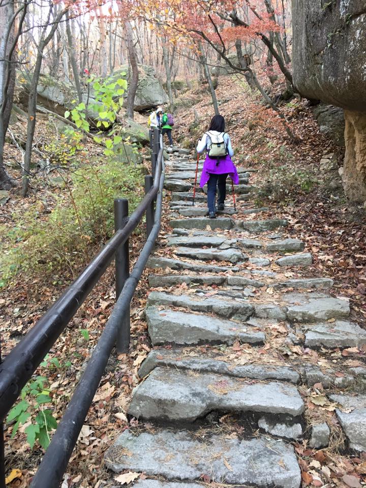
going up
still the easy parts

din know these were so easy by comparison
going up
Still 1.3km
another 1.3km…
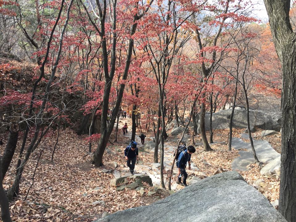
going up
it’s always, going up!
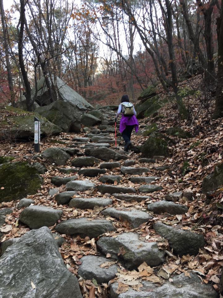
going up
going up
keep going
going up
going up
going up
going up
what else? going up….
coming up
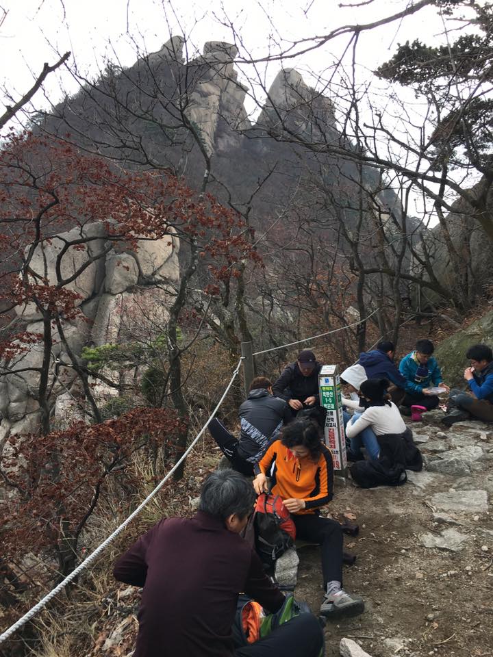
rest stop…
going up
fresh air
fresh air – in abundance….
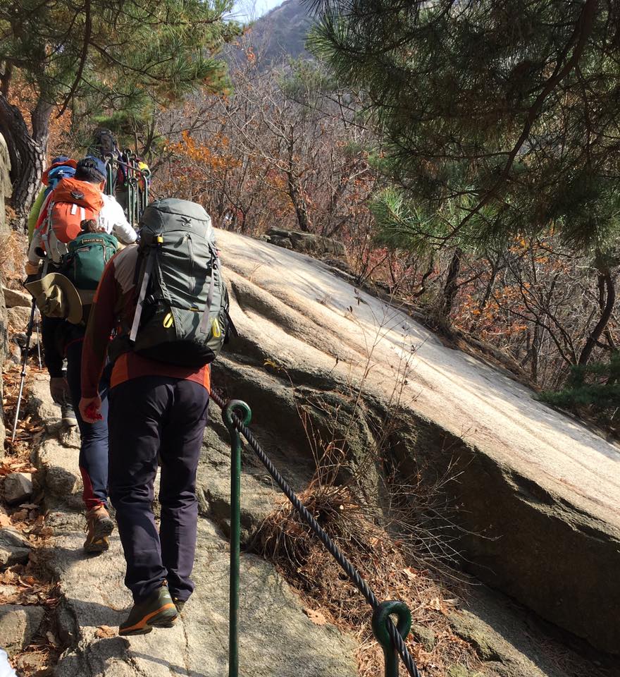
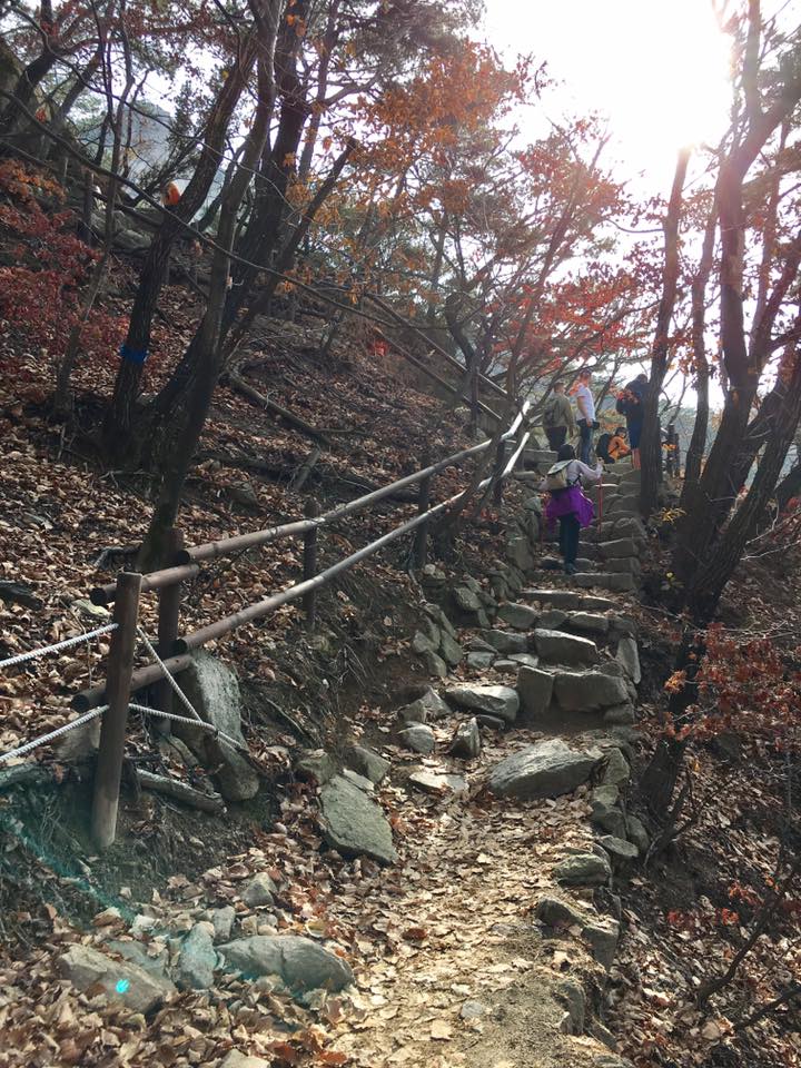
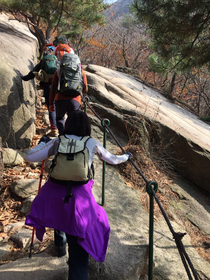
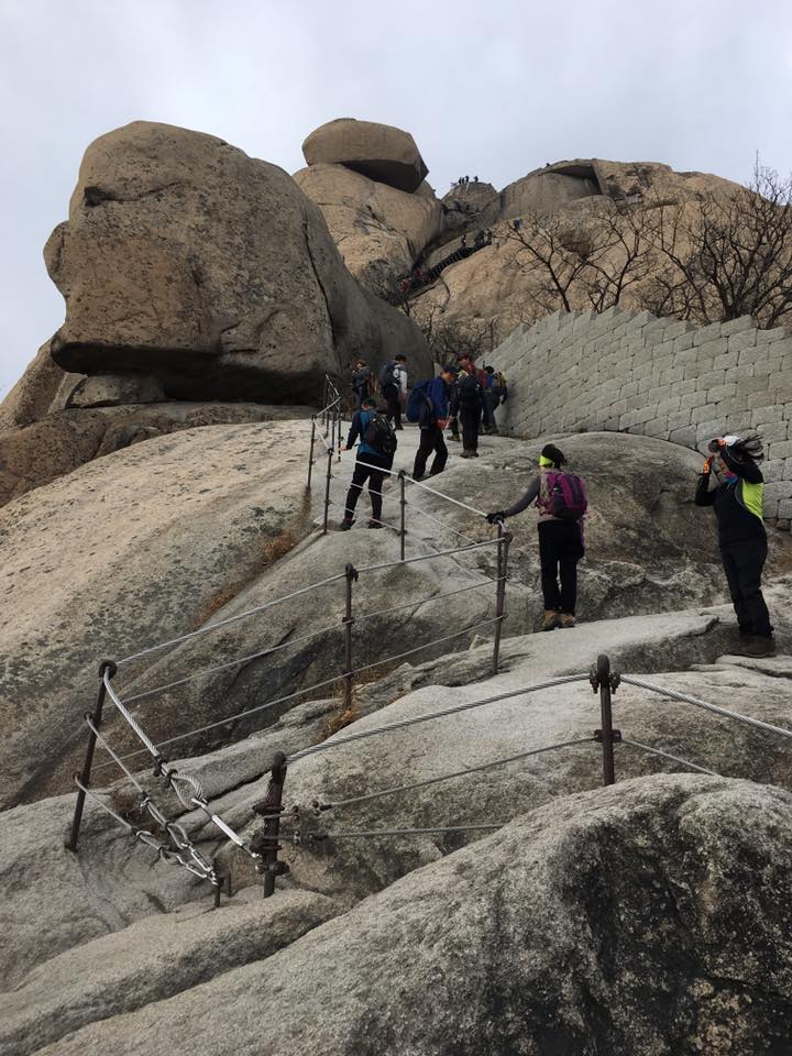
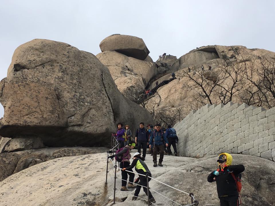
difficult parts when the ropes start
going up
rest stop…I think we took the remaining 1/2 of the first gimbap
we took the remaining 1/2 of the first gimbap…
not there yet la…0.5km + 0.3km the hardest parts
not there…not there…0.5km + 0.3km the hardest parts…
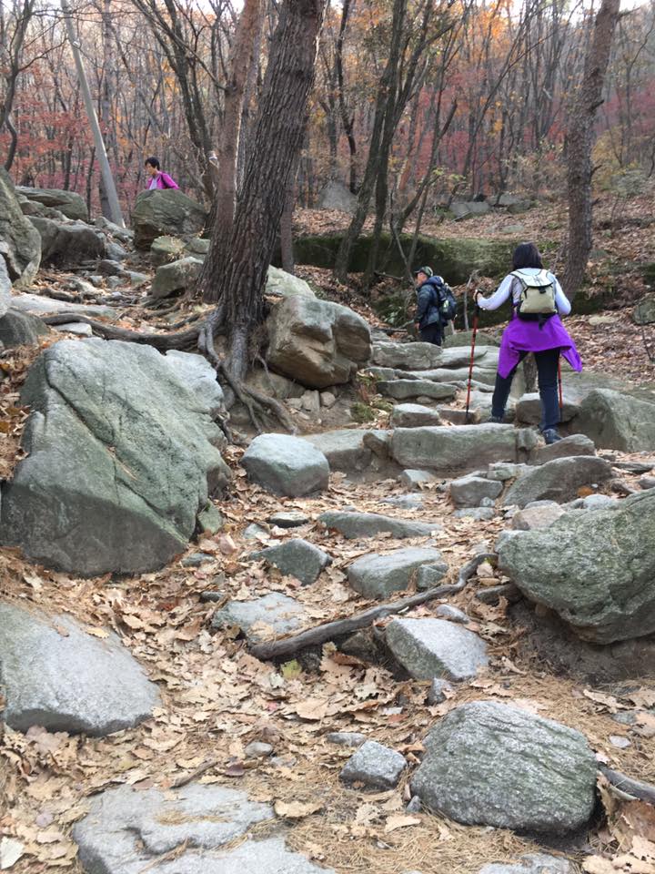
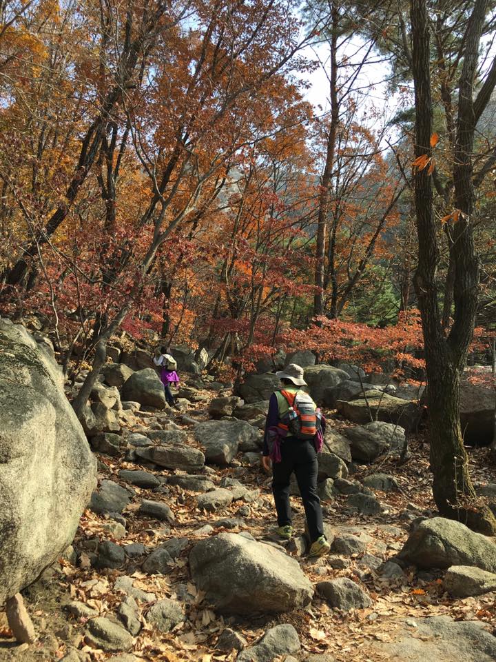
going up
harder it went
going up…steep, rocky
going up
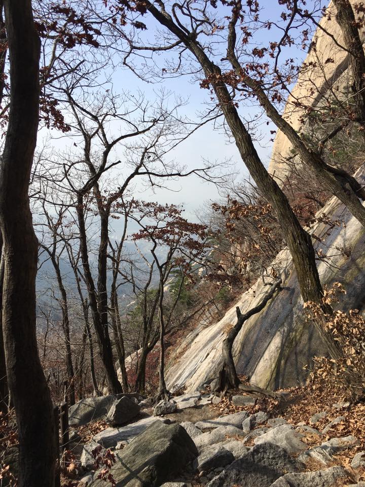
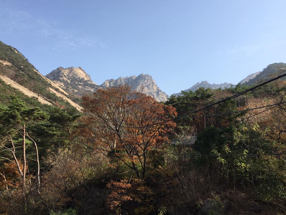
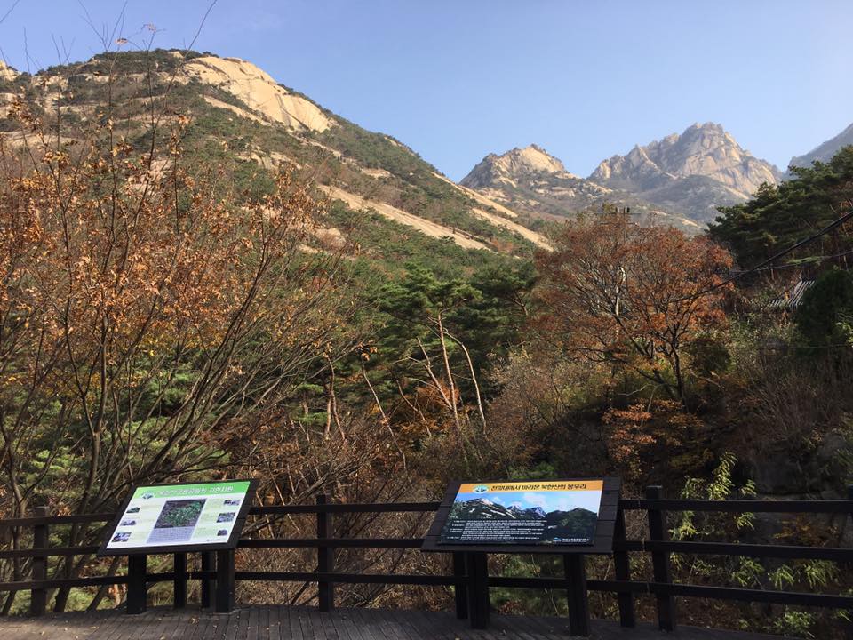
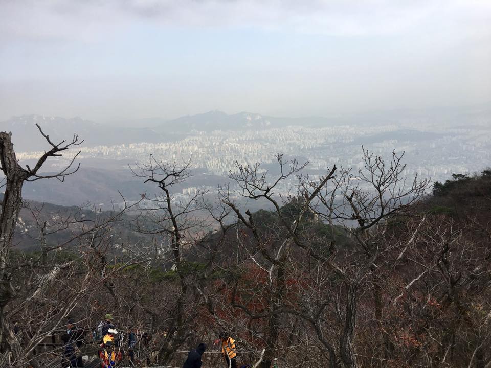
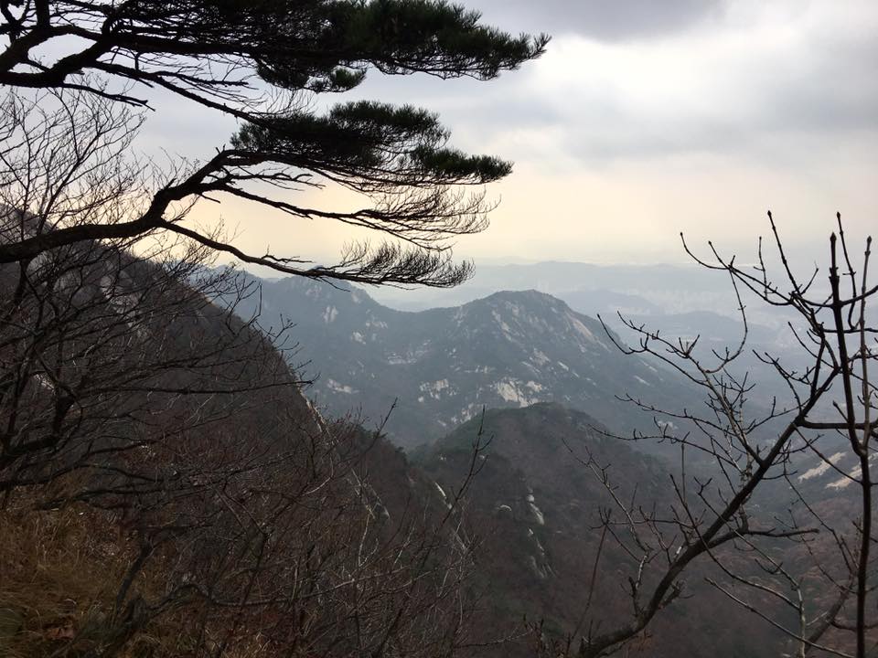
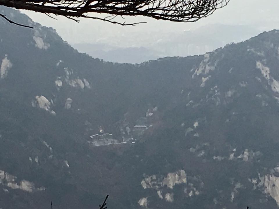
nice mountain view
rest stop..take as many as you need…
nice mountain view
another rest point…
nice mountain view
now we are nearing…

almost there = Done 3.7km Another 400m to go
almost there…
done 3.7km another 400m to go
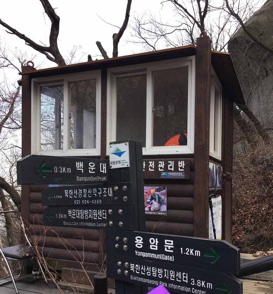
the ranger box
only a short climb now..
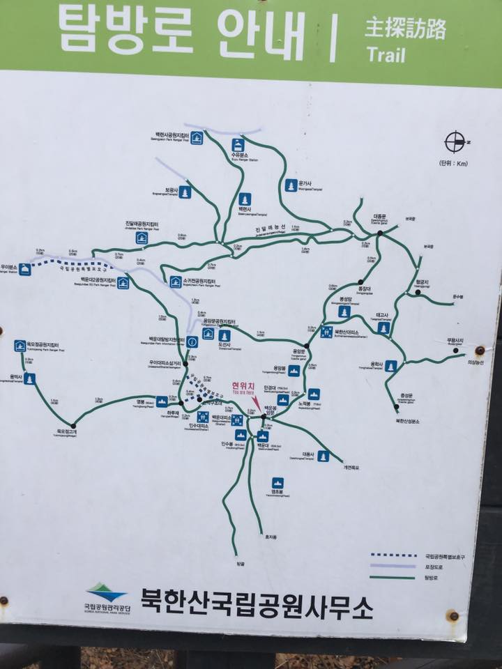
map
300m to go…lots of tired feet
another 300m to go…lots of tired feet….
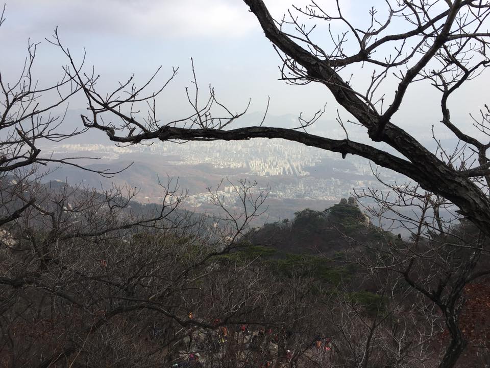
nice mountain view
nice mountain view
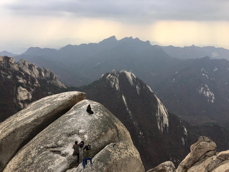
the peak
the peak
that’s the peak!
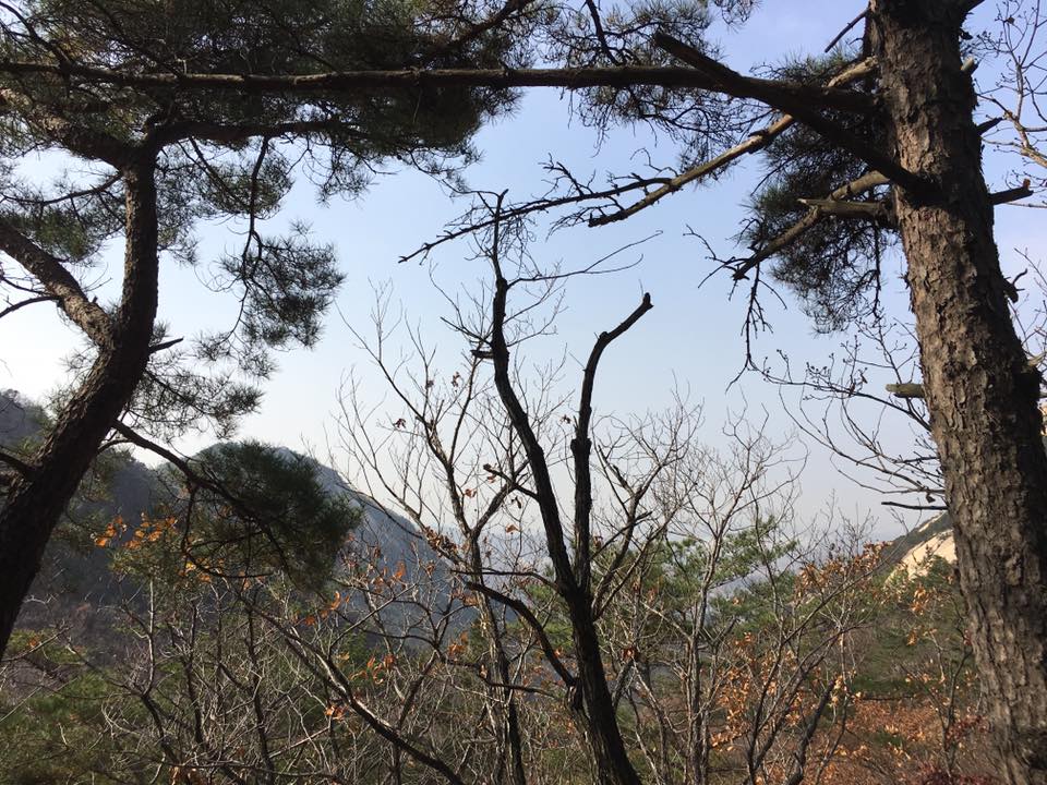
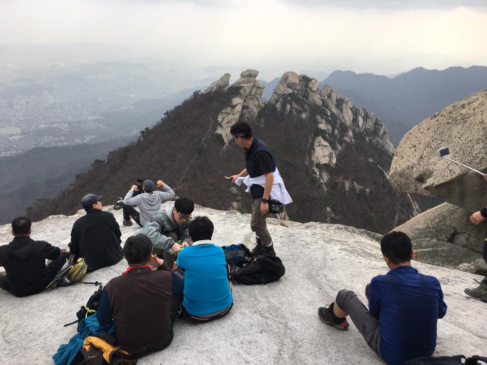
it’s a bit overcast…not a totally clear day…

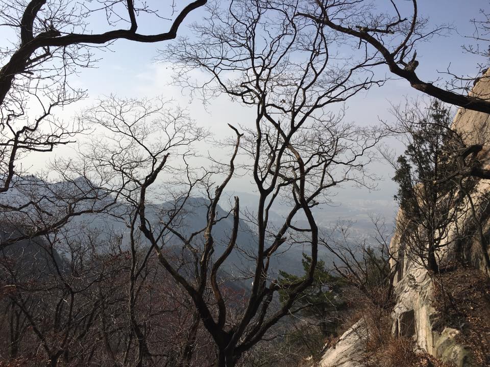
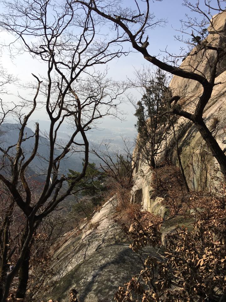
view from near the peak
view from near the peak
view all around…
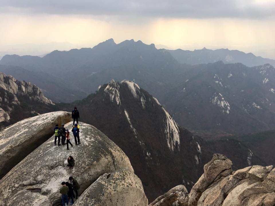
this the last part to the peak & the hardest 50m
well, almost there…
almost but not yet…
& obviously when they have ropes it means it is difficult…& today is a weekend/a Saturday, and a huge crowd..everyone wants the rope, going up & coming down..
the hardest 50m
moral of story = don’t come during the weekend…
if you do, NO gentlemen, cling on to the rope & don’t give way, whether you are going up or down…it is really quite dangerous, you can fall…
it is not always possible of course..there are children…but it means you basicall try to stand still, stay put & once the person you give way passed, cling on to the ropes…

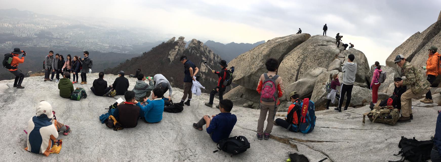
view from near the peak

view from near the peak
the view all round…
looking down on the flat area for resting before the last 50m
looking down..
looking down from the rope waiting for peak hikers to descend after taking photos=the flat area for resting before the last 50m

coming up to the flat area for resting before the last 50m
the flat area for resting before the last 50m
top of the world ya…
a zen moment
one more zen moment
baegundae 白云台 백운대 836m…
finally the peak = baegundae 白云台 백운대 836m…
it was really crowded, so cannot really stay but had to rush through a few photo moments…so really must come on a less crowded weekday..
looking back at the peak on the way down
Very tough going up! so many rocks…many parks needed rope…
Going the last 300m to the peak baegundae 白云台 백운대 836m… very challenging
the 4km up took us 4hrs…
so basically we started about 10am at the trailhead & it was 2pm when we started on the way down..
it took long because of the rest stops, photos, but also because the last 300m (phots) & especially last 50m (ropes & long queue of people going up & coming down)..
but little we knew coming down & crossing bukhansan was really very difficult course…..
the oaks clinging to the cliffs
we decided to take the route to daedongmun instead of retracing..
looking back on the way to daedongmun = the oaks clinging to the cliffs
somehow we paid a lot of attention reading up on the route coming up to baegundae 白云台 백운대…and we just assumed going down would be direct & simple…
the oaks
the golden top
the oaks
we remembered the guide said to follow the fortress wall
1.5km to daedongmun
another 1.5km to daedongmun….

walking along the fortress wall..

walking along the fortress wall..
along the wall we went….
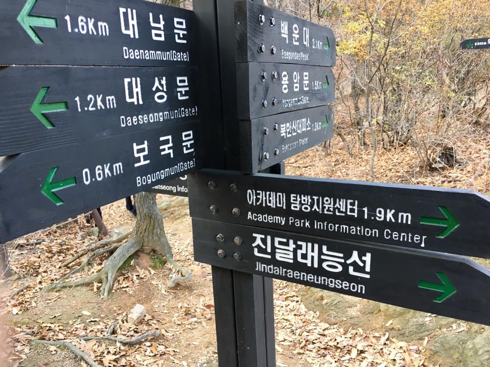
another 1.9km to academy info centre..
we came to daedongmun…
but that’s cheating!!!!
another 1.9km to academy info centre???? shucks!!!
we thought we reached…but it’s another 1.9km…
we thought we reached already leh…
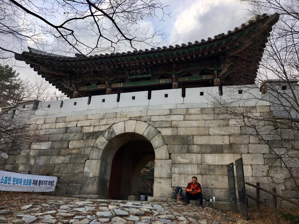
looking back at daedongmun…photo time stamp=3.58pm still another 1.9km of treacherous downhill to go
looking back at daedongmun…photo time stamp=3.58pm still another 1.9km of treacherous downhill to go
this part really really hard….very steep & rocky going downhill…
it was 4pm… we had been walking 6hrs since 10am..& truly fearful of darkness by 5pm…had to travel faster…
at one stage we were considering stopping at the call stops with the map co-ordinates & just call for help/rescue…the problem being that when going up there were like signs every 200m or the like, but coming down we were in wilderness…we were not sure if we were on the right track..if we had missed any paths on the track or had strayed…there were like maybe 3 signs the whole 1.9km??? & even the call stops location were very sparse…
during one part, a man must be in his 60s overtook us going down…& he was the only soul we saw throughout the entire 1.9km!!! we wanted to keep up with him but it was too dangerous, he was travelling too fast & we could fall & injure ourselves if we kept pace with him, which was impossible in any case…but at least during that 5mins or so we knew we were going the right direction…
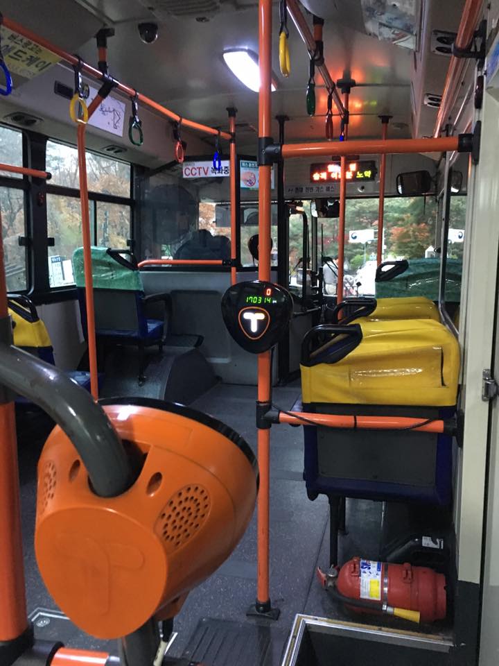
so happy to arrive & board no1 bus to suyu..made it! safe finally!
so happy to arrive & board no1 bus to suyu..made it! safe finally!bus clock said 1703hrs…means we covered the last 1.9km in 1 hr 5mins! & coming down is so difficult & treacherous…..no time or heart/mood to take photos
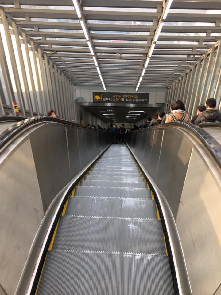
took us another 1hr 10mins on bus(25) & subway to get back to hongdae, happy & exhausted after a full day 7hrs hike!
Bukhansan
| Highest point | |
|---|---|
| Elevation | 836.5 m (2,744 ft) [1] |
| Coordinates | 37°39′39″N 126°59′36″E / 37.6608°N 126.9933°E / 37.6608; 126.9933Coordinates: 37°39′39″N 126°59′36″E / 37.6608°N 126.9933°E / 37.6608; 126.9933 |
| Geography | |
| Location | South Korea |
| Climbing | |
| Easiest route | from Suyu Station by bus 1218 or 153 to Uidongdoseonsaipgu bus stop(우이동도선사입구) then walk 2.29km to Bukansan National Park Visitor Center(북한산국립공원백운탐방지원센터) |
